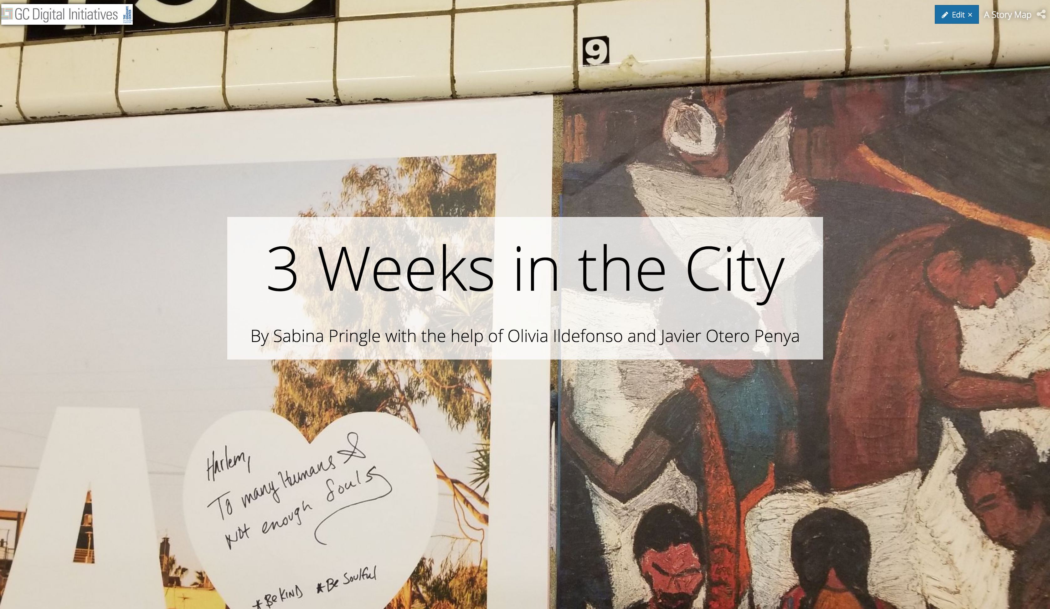
As you may remember, I created an ArcGIS Story map for my 5-minute project presentation last week. Although I created it in a rush and it was longer than I had time for, I think story maps can be a good alternative to power point slides depending on what you’re doing and are also a fun way of keeping a journal, so I want to share what I learned in the ESRI Story Map workshop I took with Olivia Ildefonso and Javier Otero Penya.
Olivia told us that ESRI is the leading story mapper right now. They’ve really taken over the market, she said. The cool thing with ESRI is you don’t even need a map to create a story map. You just need pictures. Olivia doesn’t use it for mapping. She uses it for pictures and text.
ESRI is a for-profit company. They offer the story-mapping tool for free. Why use ESRI? Because it’s free and open-sourced. Therefore, if you’re a developer and want to customize it even more you can download it and customize it. You can get code from Github. Furthermore, It’s easy. You don’t have to know how to code or map. You can embed maps if you want but they have to be ESRI maps. You can’t use Carto.com. Now here’s the rub: if you want to create a map with ESRI you have to pay. But there’s a way around this: GCDI has a one-year ESRI interactive map for students. Go chat with GCDI if you want to access that map.
ESRI story maps are like some of the articles we see in the NY Times (this article on Yemen, for example, was built with ESRI or a very similar program).
To build a story map with ESRI, go to https://storymaps.arcgis.com and create an account. Choose the kind of story map you’re going to create. Olivia suggested starting with Cascade. Create a story board before starting creating the story map! Olivia recommends doing it in PPT. Include photos and notes. Videos have to be shared from youtube. This is the story map I built in the workshop.
 In it you’ll find notes I took of some of Olivia’s and Javier’s suggestions interspersed with a lot of nonsense I wrote as I feverishly followed Olivia’s directions, and an odd assortment of photos I pulled at random from my files. I like how the little dog becomes the big dog; that was a lucky accident. You’ll figure out how to use ESRI easily if you just dive in and play around.

